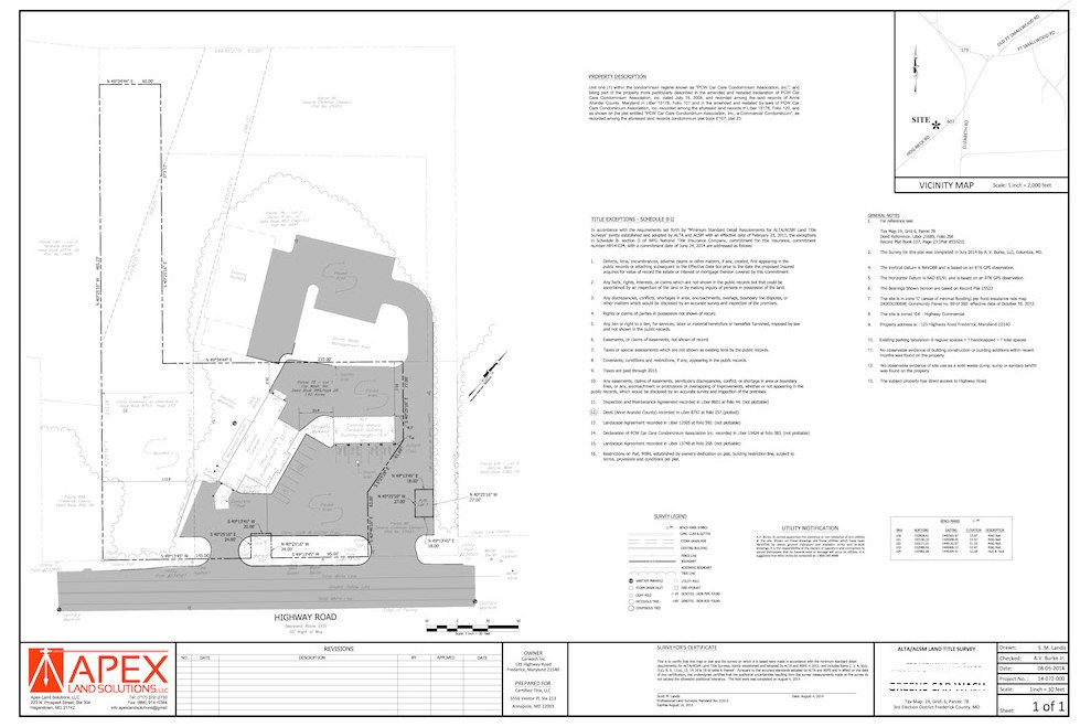
ALTA / ACSM Land Title Surveys
An ALTA survey is a boundary survey prepared to a set of minimum standards that have been jointly prepared and adopted by the American Land Title Association (ALTA) and the American Congress on Surveying and Mapping (ACSM). A boundary survey meets the standards of the regulatory industry of an individual state, whereas the ALTA/ACSM is comprehensively recognized across the entire nation. The objective of the ALTA/ACSM standard is to establish a level of standards so that all parties in the commercial transaction are ensured a common standard.
An important part of the ALTA survey is having a current title commitment. This is required before an ALTA Survey can be completed. The surveyor will refer to the title commitment for the legal description of the property and for the legal description of any encumbrances (exceptions). The applications of ALTA and ACSM surveys include:
- Information about property boundaries and easements,
- Further offers suggestions for improvements on the land, such as fences, trails, roads, and rights of ways, and more
- Information on other features of the property that may affect or determine the ownership of the property
- Information about the land which may require further investigation pertaining to the possibility of the property adverse rights.
- These surveys further show improvements and easements, ownership areas, encumbrances, encroachments on the property, and other vital aspects of the land ownership.
These surveys may cost you little above the standard and traditional land survey, only because the ALTA and ACSM surveys are more precise, accurate, faster, and the information provided can be very detailed.

